One of the most difficult challenges in dealing with large-scale disasters such as floods, earthquakes, and wildfires is coordinating response crews, materials, and equipment from various stakeholders. Obtaining a clear picture of the situation in the affected area is critical for operational management, allowing for the efficient and safe deployment of available resources. However, because these crisis situations are inherently hazy, even answering simple questions, such as the accessibility of specific areas or the structural stability of structures, is a tedious and time-consuming task.
However, because these crisis situations are inherently hazy, even answering simple questions, such as the accessibility of specific areas or the structural stability of structures, is a tedious and time-consuming task. The technological potential for data collecting and processing has quickly risen over the previous decade and is now being used in almost all industries. However, in crisis scenarios, the existing communication infrastructure and hence processing capacities are interrupted and cannot be conveniently utilized. As a result, planning tools for day-to-day emergency services are frequently only used to a limited level.
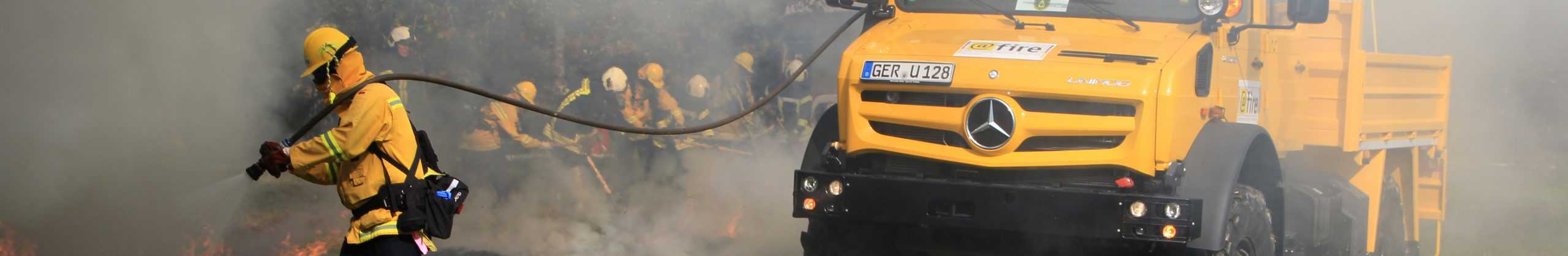
During the 2021 flood in southern Germany, a full breakdown of mobile communication networks and even digital radio communication systems not only hampered communication, but also severely limited access to processing capabilities for analyzing the data at hand. NebulOuS’ purpose is to enable widespread communication and computing even in crisis scenarios by delivering a flexible fog computing platform that can adapt to the situation at hand.
By combining the NebulOuS platform with modern LPWAN technologies, not only can the situational map system developed by @Fire during the 2021 flood be used and managed more broadly, but AI algorithms can also be deployed on multiple levels of the edge-cloud-continuum for the first time to process available data in order to verify information and significantly improve the situational awareness of crisis management staff and response teams.
BIBA (Germany, RTD) will implement the dynamic situational map in the NebulOuS system and extend it with its “USGnode” LPWAN sensor system as a key partner in the use case. @fire (Germany, Industry) is a German national disaster response organization that will test the NebulOuS platform and dynamic map with local communication infrastructure in disaster scenarios.
When the @fire crisis response team is deployed to a disaster area, the OSIRAS (Ordnance Shelter for Intervention Rescue and Ambulance SlideOn) station serves as the unit’s mobile coordination point. NebulOuS will extend it with LPWAN communication and an edge cloud, which will be linked to other public cloud resources managed by NebulOuS if internet connectivity is available. The teams deployed in the region will report information to the system via an app, which will be directly incorporated into the situational assessment. Data from LPWAN sensors reporting relevant field data, such as water levels, structural changes, weather conditions, and equipment locations, will supplement this data.