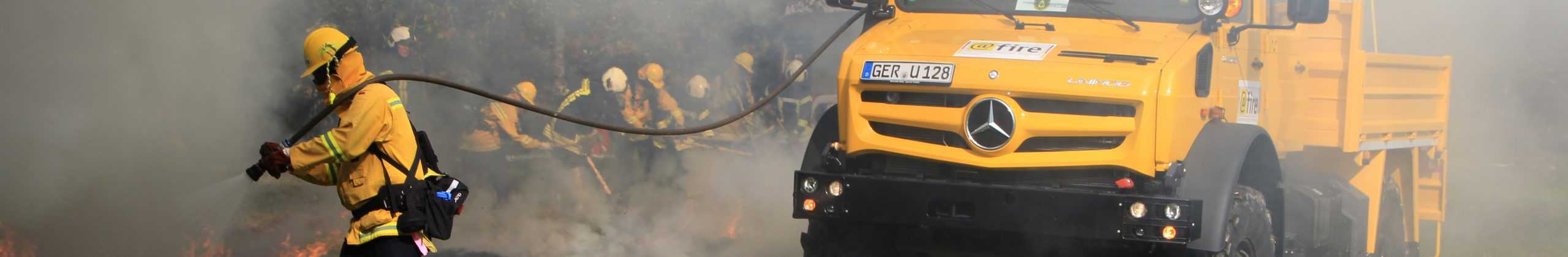
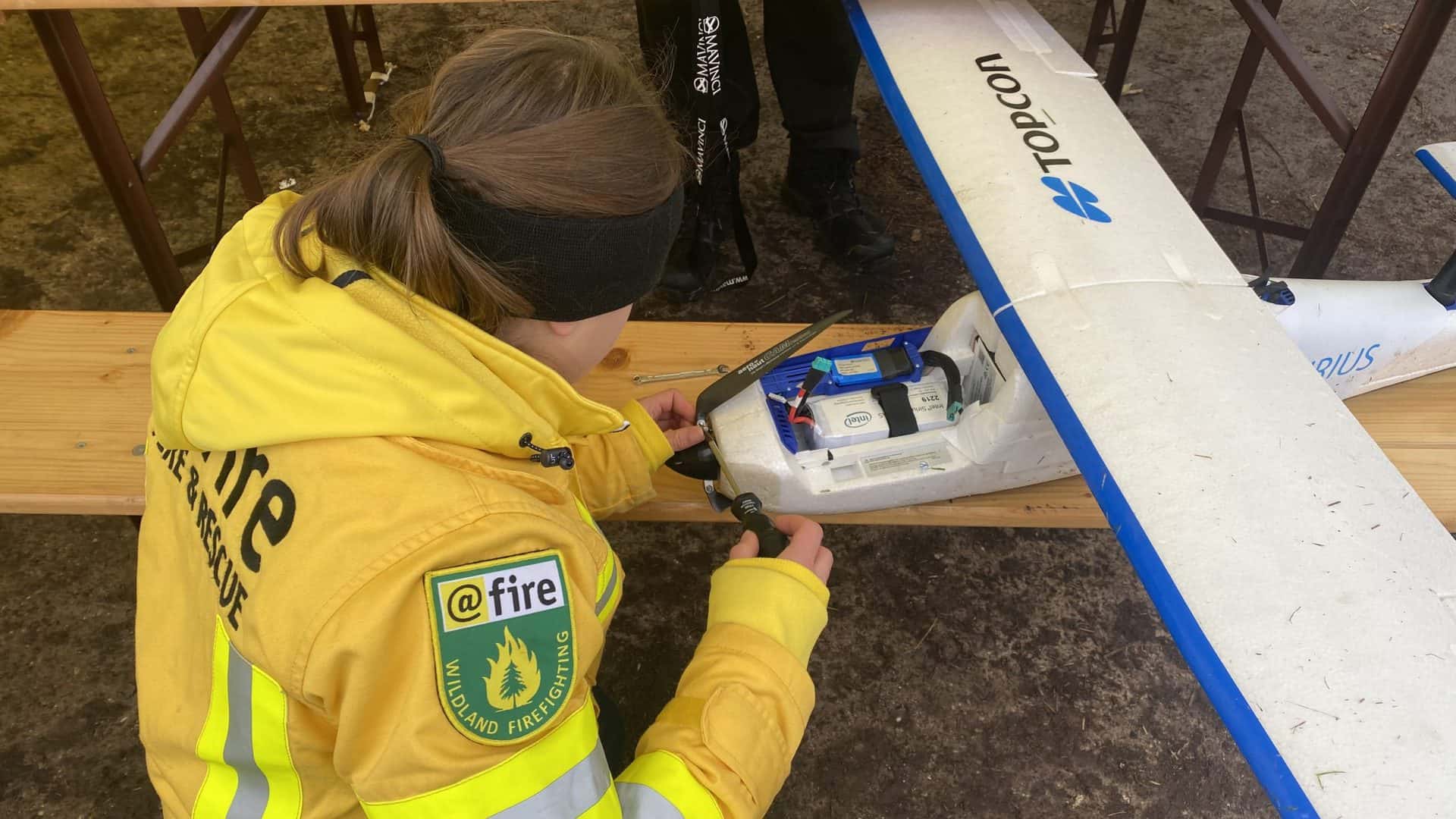
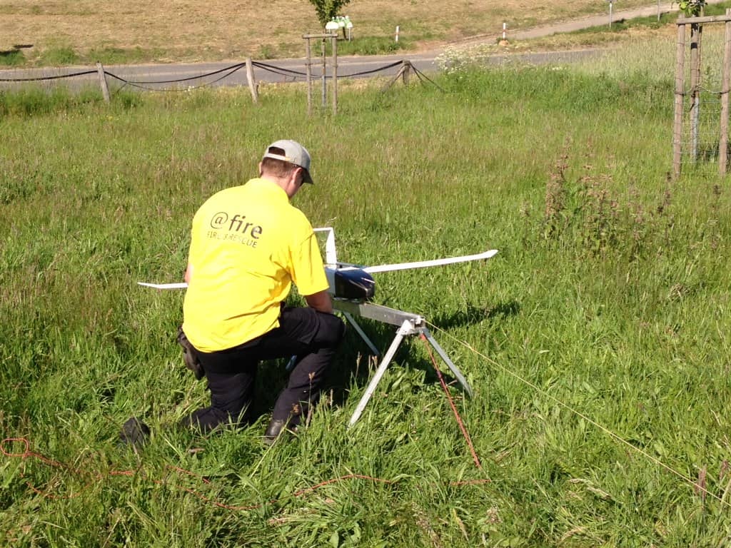
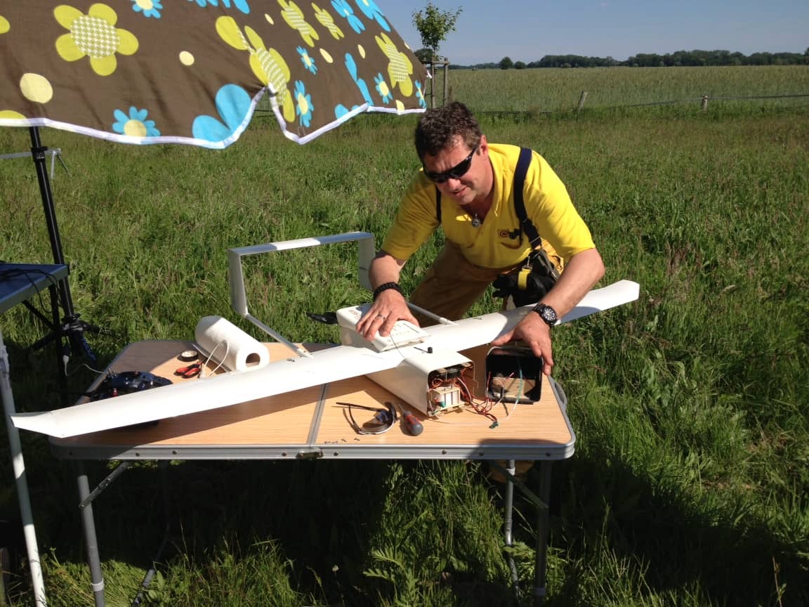
Already since 2013, @fire has been using drones during operations to gather information across the different command levels. From live image overview in initial operations to aerial reconnaissance and, for example, dyke monitoring using area drones. The focus here is not only on aerial image transmission in real time, but also in particular on techniques and possibilities for data processing, cartography and modelling. The goals are, in particular, the aerial reconnaissance of damage areas and the provision of up-to-date information for better decision-making.

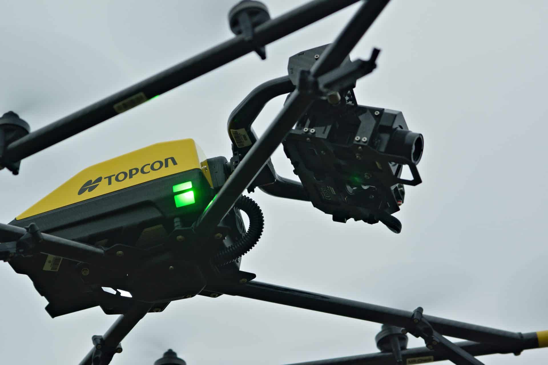
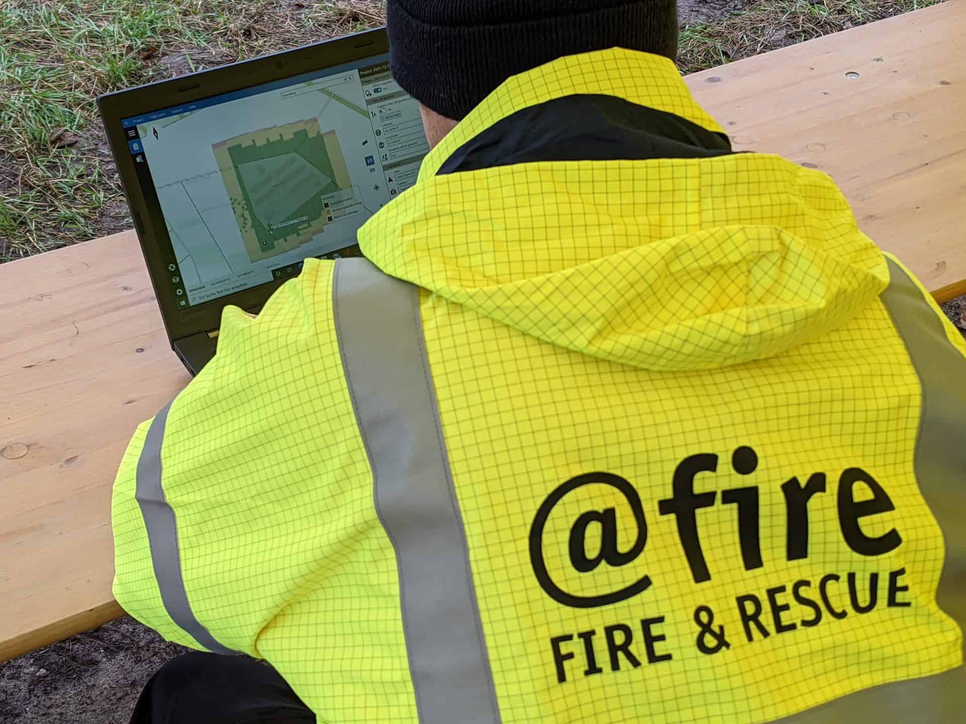
Based on time-delayed recordings and terrain surveys, dispersion and damage scenarios can be determined, deployment tactics derived and deployment successes evaluated. Wide-area images enable rapid exploration of access routes and destroyed infrastructures. Detailed images of debris structures enable further assessment of damage and response measures via 3d models.