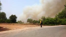
One of the most difficult challenges in dealing with large-scale disasters such as floods, earthquakes and forest fires is the coordination of response forces, material and equipment of the different parties involved. Having a clear picture of the situation in the affected area is crucial for operational command and enables the efficient and safe deployment of available resources. However, as these crisis situations are inherently unclear, even answering simple questions such as the accessibility of certain areas or the structural stability of buildings is an arduous and second-order task.
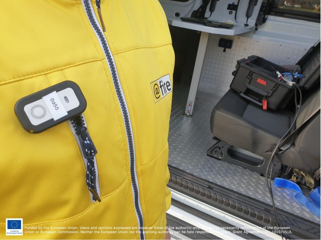
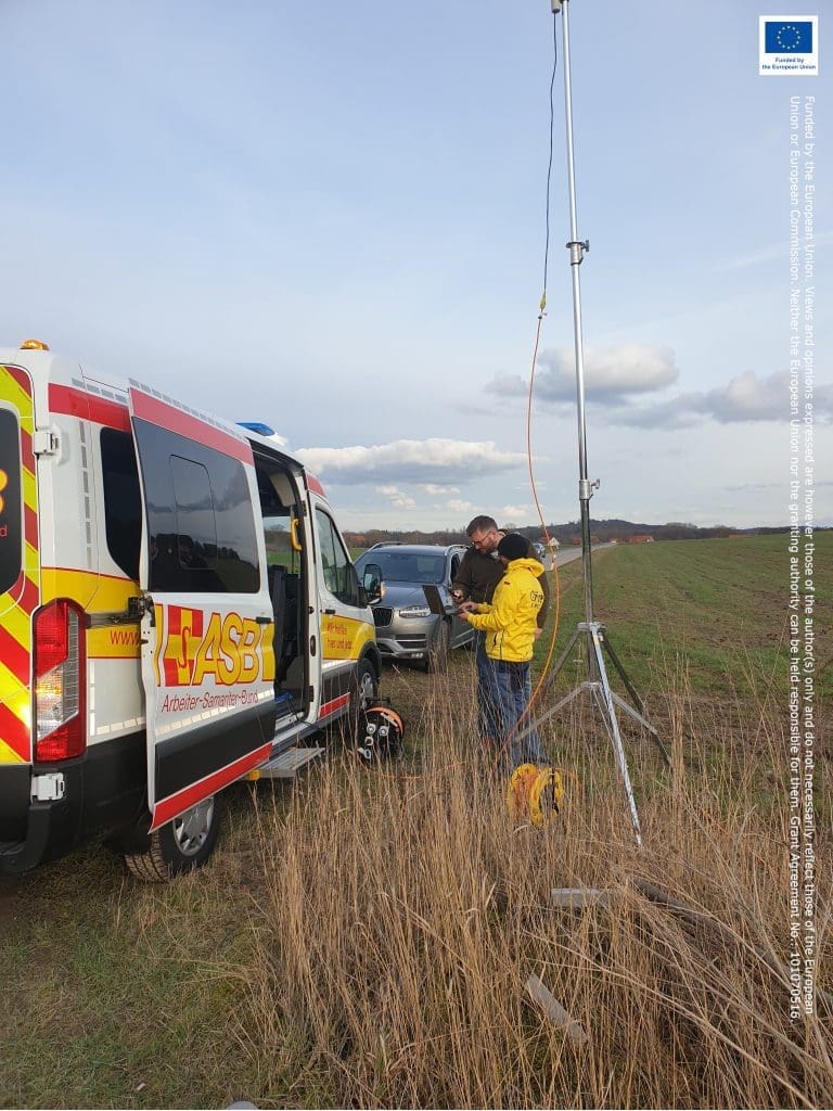
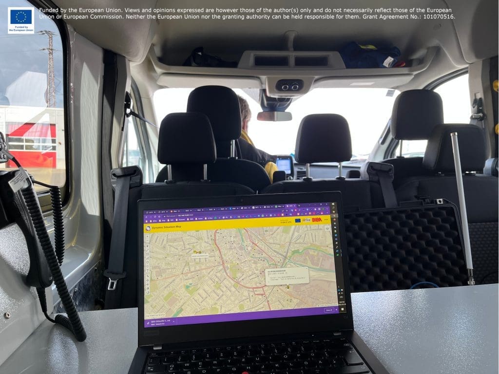
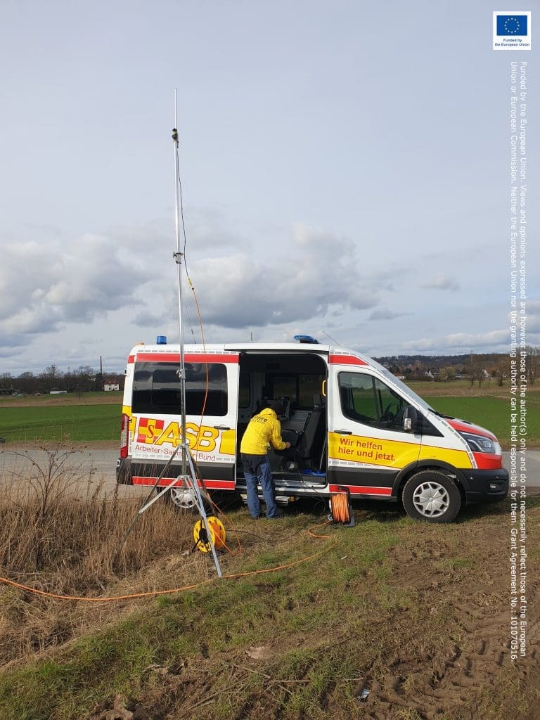
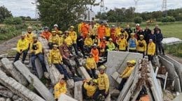
Last Monday, @fire and the @BIBA - Bremen Institute for Production and Logistics successfully implemented and tested the concept of using so-called LPWAN (Low-Power Wide Area Network) technologies in the field in Osnabrück ( Germany). The experiment was conducted as a proof-of-concept for the application, whereupon the connectivity and aggregation of data was tested in an autonomous setup. Once in the urban area and also in the rural area or mobile. This was possible due to our close partnership with @ASB-Niedersachsen-West in Osnabrück, who supported us with logistics and transport.
@fire has been accompanying the European Union research project with a research assistant since the end of 2022.
You can find more information about the EU project here.